ID: 51684


Omschrijving
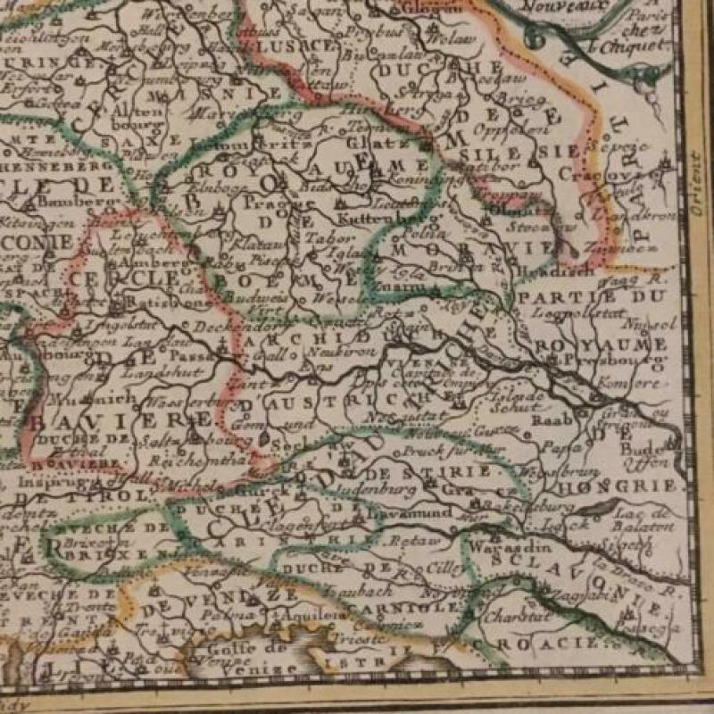
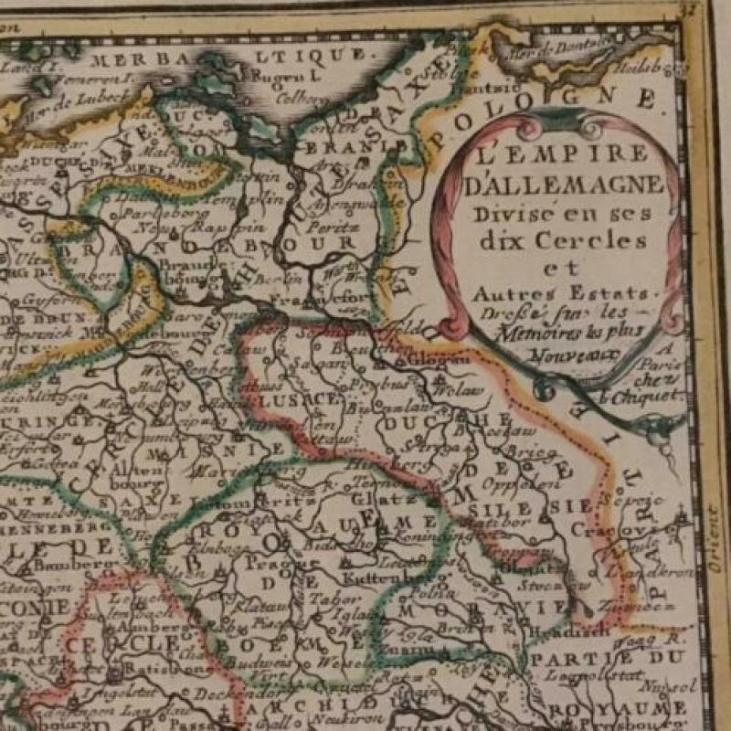
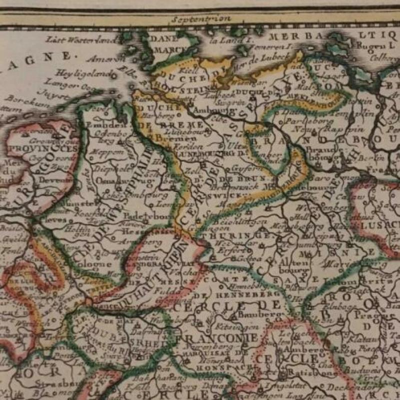
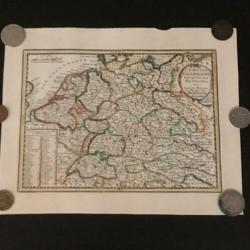
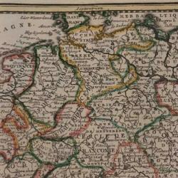
Oudtijds gekleurde kopergravure van centraal Europa.
Afmeting: 16 x 22 cm.
Conditie: goed. Voldoende marges. Iets gevlekt in de marges. Verso: blank.
Kopergravure van centraal Europa uit een Frans atlasje gedrukt in Parijs in 1719.
A delicately engraved small map of central Europe including Germany, Czechoslovakia, Poland, Switzerland, Austria and a portion of France and northern Italy. The kings and emperors from Charlemagne to Charles VI are noted in a panel at the lower left. The map is graced with a simple cartouche.